SCAN2REALITY
Practical reality capture guides

Master 3D Scanning

Four practical guides for surveyors, BIM managers and construction professionals: 30+ scanner comparisons, real-world costs, and scan-to-BIM workflows from site to model. Full table of contents and free excerpt on every book page.

4

Books

Available

3

Editions

FR · EN · DE

PDF

Instant

download

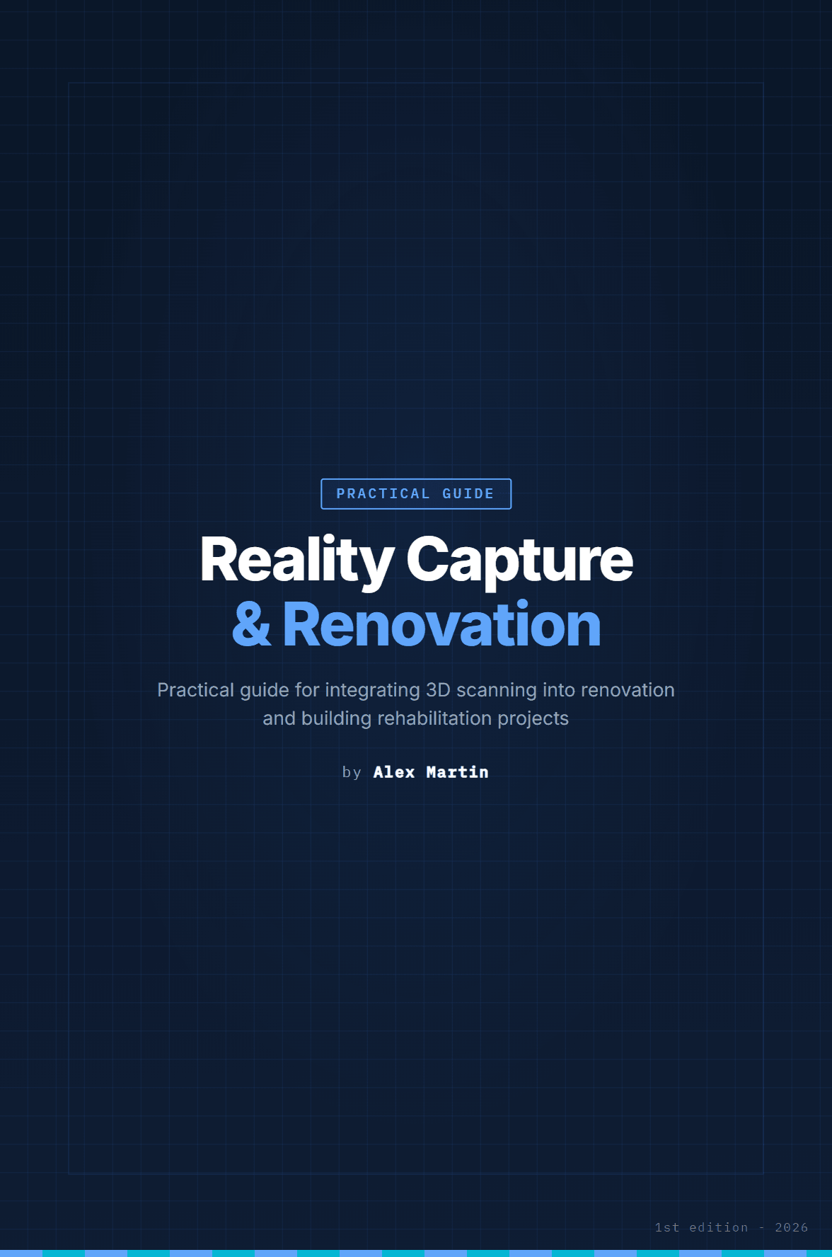
Cover of the Reality Capture & Renovation book
Our Publications

Digital books for reality capture

Complete and practical guides to master 3D scanning technologies, from laser scanning to scan-to-BIM. Full table of contents and free excerpt on every book page.

English edition - PDF

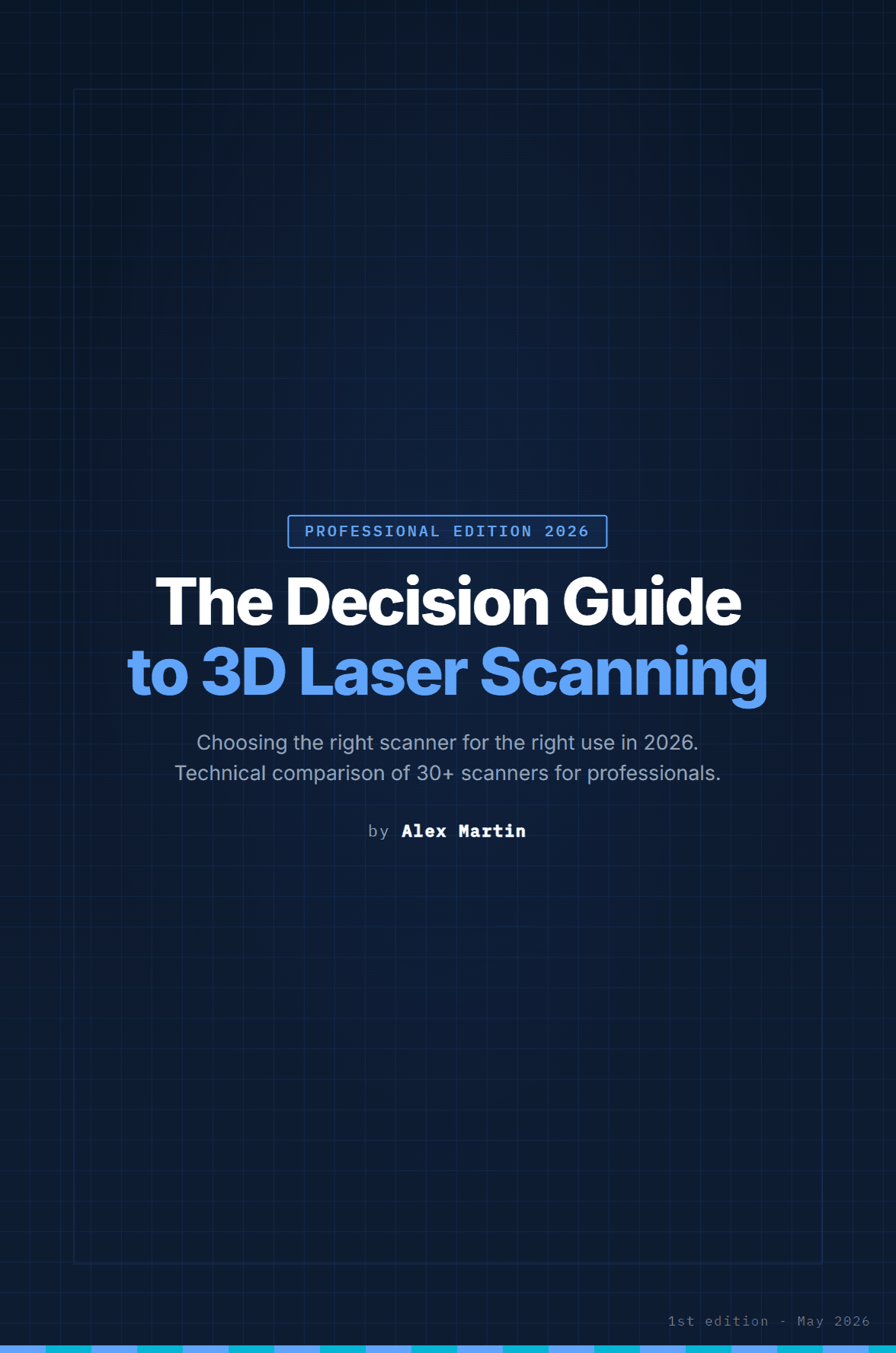
The 3D Laser Scanning Decision Guide

Choose the right scanner for the right use in 2026

  • 30+ scanner comparison
  • Independent benchmarks
  • Decision trees by use case
€29
Buy now
English edition - PDF

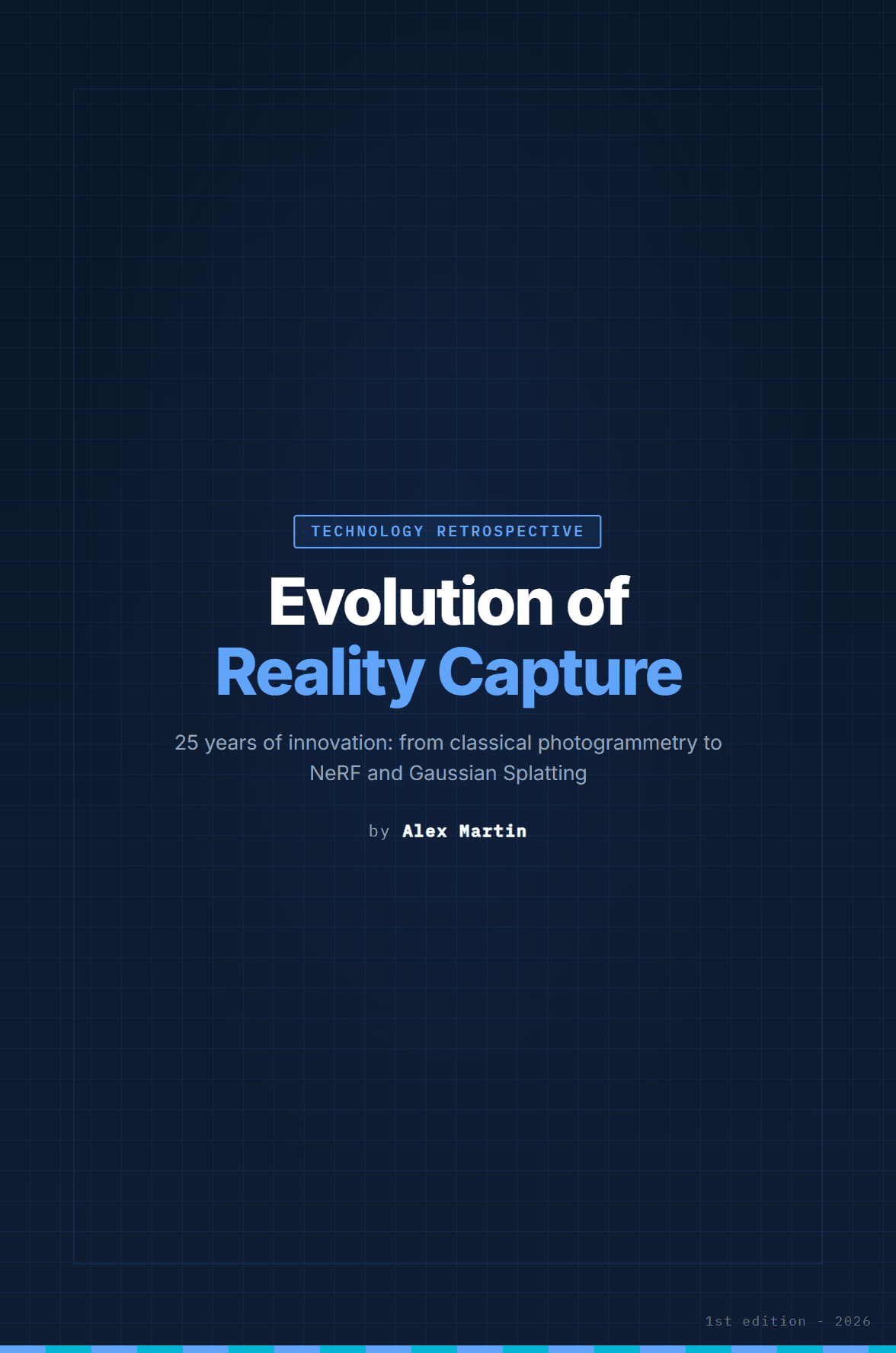
Evolution of Reality Capture

25 years of innovation: from classical photogrammetry to NeRF

  • Complete 2000-2026 timeline
  • Key players and acquisitions
  • 2026-2030 outlook
€19
Buy now
English edition - PDF

Reality Capture & Renovation

Integrating 3D scanning into renovation and rehabilitation projects

  • 3D diagnostics for renovation
  • Scan-to-BIM methodology
  • Industry case studies
€39
Buy now
English edition - PDF

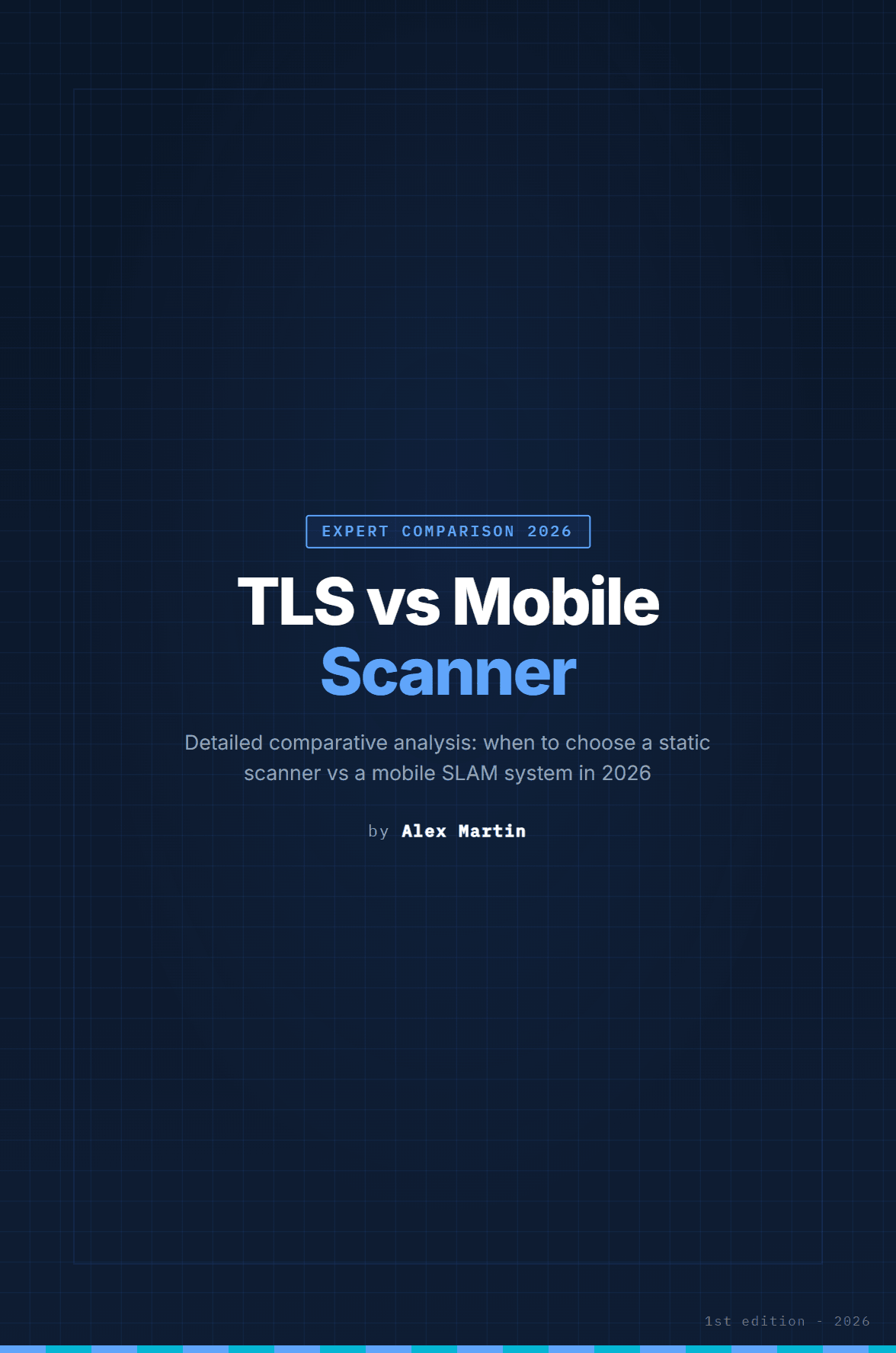
TLS vs Mobile Scanner

When to choose a static scanner vs a mobile SLAM system in 2026

  • TLS vs SLAM comparison
  • TCO and ROI analysis by technology
  • Hybrid TLS + SLAM workflows
€49
Buy now
Best deal
Bundle
English edition - PDF

Professional Bundle

Renovation + TLS vs Mobile Scanner: the operational duo

This bundle includes:

  • Reality Capture & Renovation
  • TLS vs Mobile Scanner
€88 if bought separately€69
Buy now
Best deal
Bundle
English edition - PDF

Complete Reality Capture Bundle

All 4 books to master every 3D capture technology

This bundle includes:

  • 3D Laser Scanning Guide
  • Evolution of Reality Capture
  • Reality Capture & Renovation
  • TLS vs Mobile Scanner
€136 if bought separately€99
Buy now
Secure payment via Stripe
Instant download
Free excerpt before you buy
Edition updates included

Paperback edition available on Amazon

Prefer reading on paper? The paperback editions are published on Amazon, Alex Martin author store (FR, EN and DE editions are being rolled out progressively). The PDF remains available here with instant download.

Visit the Amazon store
Cover of the 3D laser scanning guide

Excerpts

Free on every book page

The collection

Practical guides for field professionals

I demystify reality capture: guides written in the field, for the field. Every method was tested on real projects before being written - and every book page publishes its table of contents and a free excerpt so you can judge before buying.

  • Field-proven methods
  • Full table of contents and free excerpt per book
  • Edition updates included
  • Instant download after purchase

4

Books published

3

Edition languages

PDF

Instant download

The author

Who writes these books?

AM

Alex Martin

Author specialized in 3D scanning - field, processing and BIM

Pen name
Field practitioner

I write under the pen name Alex Martin. What matters in these books is not a title: it's that every method, comparison and order of magnitude comes from real 3D scanning projects - and you can verify it yourself through the full table of contents and free excerpt published on every book page.

My approach is deliberately solution-oriented: understanding the real needs of teams - in surveying, construction, industry or heritage - and turning those constraints into simple methods for daily use. Laser scanner, photogrammetry, drone, point clouds, BIM workflows: everything that bridges the gap from real to digital without wasting time or precision.

What motivates me is the direct impact: saving hours on projects, reducing errors, securing decisions, and enabling more people in an organization to collaborate on reliable data.

These books are designed to be clear, concrete, and immediately applicable: decision criteria, numbers, field feedback - no useless theory.

The editorial line:

Methods tested in the field before being writtenNumbers and criteria, not generalitiesApplicable on your projects the next day

Areas covered

Construction
Heritage
Surveying
Industry

Judge for yourself: every book page publishes its full table of contents and a free excerpt.

FAQ

Frequently Asked Questions

Choosing or renewing a scanner: start with the 3D Laser Scanning Decision Guide, plus TLS vs Mobile Scanner if you hesitate between static and SLAM. Working in renovation or retrofit: Reality Capture & Renovation. Want to understand the industry and its players: Evolution of Reality Capture. To cover everything, the Complete Bundle includes all 4 books. Every book page publishes its table of contents and a free excerpt to help you decide.

Each product page sells the book in one language, stated on the page: on the English site you buy the English edition. French and German editions also exist - switch the site language at the top to access their pages.

No: as downloadable digital content, the sale is final and the right of withdrawal does not apply once the download has started (Article L221-28 of the French Consumer Code). That is exactly why every book page publishes its full table of contents and a free excerpt: you judge the content BEFORE buying. In case of a technical problem (unreadable file, lost link), write to info@scan2reality.com and we will resend the file.

Yes. Payment is processed by Stripe, which automatically emails you an invoice after purchase (VAT calculated automatically), usable for accounting. Need a specific invoice (special mentions, purchase order)? Write to info@scan2reality.com.

Delivery is immediate: after payment, a PDF download link is emailed to you (valid for several days; a new link is available upon simple request to info@scan2reality.com).

Yes. The paperback editions are published on Amazon, on the Alex Martin author store (Amazon.com, Amazon.fr, Amazon.de). The French, English and German editions are being rolled out progressively. On this site you buy the PDF version, delivered immediately by email.

Yes. Reality capture technologies evolve fast: when an edition is updated, the new version is provided to you for free by email, upon simple request to info@scan2reality.com, without paying again.

Reality capture encompasses all technologies for digitizing the real world in 3D: photogrammetry, laser scanning (LiDAR), and drone mapping. It produces point clouds, 3D meshes and digital twins usable in BIM, construction, heritage and industry.

LiDAR uses laser pulses to directly measure distances and create 3D point clouds. Photogrammetry reconstructs 3D geometry from photographs. Both techniques are complementary and often combined on professional projects.

News

Blog & Industry Watch

Trade show reports, trends and news from the world of reality capture and 3D scanning.

August 22, 2026Munich · Salt Lake City · Paris
Agenda 2026-2027ConferenceIndustry

Trade shows 2026-2027: INTERGEO in Munich, Geo Week moves to Salt Lake City

Four dates to save: INTERGEO 2026 (September 15-17, Munich), BIM World MUNICH (November 24-25), Geo Week 2027 (February 23-25, Salt Lake City) and BIM World Paris (March 31-April 1, 2027).

A busy season is ahead for reality capture professionals. First stop in less than a month: INTERGEO 2026 takes place September 15-17 at Messe München. Over 500 exhibitors and 18,500 visitors from more than 120 countries are expected in Munich, before the show settles in Frankfurt every year from 2028. Staying in Munich, BIM World MUNICH celebrates its 10th edition on November 24-25, 2026. The international platform for digitalization of construction and facility management will gather the BIM community around the sector's latest innovations. In early 2027, a change of scenery across the Atlantic: after a record 2026 edition in Denver (3,509 attendees), Geo Week moves to Salt Lake City on February 23-25, 2027, at the Salt Palace Convention Center. On the agenda: AI-driven point cloud processing, asset inspection, digital twins and reality capture. Registration opens in September. Finally, BIM World Paris returns March 31-April 1, 2027 at Paris Expo Porte de Versailles (pavilions 5.2 and 5.3) under the Digital Twin / BIM World banner, a sign of the digital twin's growing role in the French ecosystem.

February 16, 2026Denver, CO, USA
Geo Week 2026ConferenceInnovation

Geo Week 2026: 3,509 professionals in Denver, record broken

Geo Week 2026 (February 16-18, Denver) broke all records with 3,509 attendees and 238 exhibitors from 25 countries.

The 2026 edition of Geo Week exceeded 3,500 attendees with 238 exhibitors from 25 countries, confirming Denver as America's geospatial capital. The Reality Capture Network (RCN) hosted a dedicated track for the second year. Dominant themes: AI and reality capture convergence, automated Scan-to-BIM, and the role of digital twins in infrastructure management. USIBD organized the "Reality Capture to Plan" event showcasing advances in building documentation. Indoor SLAM and mobile mapping solutions occupied center stage at the show.

April 1, 2026Paris, France
BIM World 2026ConferenceIndustry

BIM World Paris 2026: AI and decarbonization at the heart of BIM

BIM World Paris 2026 (April 1-2, Porte de Versailles) brought together 300 exhibitors and thousands of professionals around AI, interoperability and decarbonization.

BIM World Paris 2026 was held April 1-2 at Paris Expo Porte de Versailles. With approximately 300 exhibitors and 80 conferences, the event confirmed its status as the must-attend BIM event in France. Key themes: AI applied to digital models, data interoperability (OpenBIM, IFC 4.3), digital asset management and construction sector decarbonization. French startups were particularly visible with innovative scan-to-BIM and real estate asset management solutions.

October 7, 2025Frankfurt, Allemagne
INTERGEO 2025ConferenceTechnology

INTERGEO 2025 in Frankfurt: Generative AI at the heart of geodesy

The world's largest geodesy trade show took place October 7-9, 2025 in Frankfurt with over 500 exhibitors.

INTERGEO 2025, organized by DVW and HINTE Expo, brought together over 600 exhibitors from 40 countries. The central theme was the integration of generative AI into point cloud processing workflows. Leica Geosystems presented its new autonomous BLK scanner with automatic deep learning classification. Trimble unveiled its Trimble Clarity cloud platform unifying scan, photogrammetry and BIM. Drone manufacturers like DJI and senseFly highlighted next-generation RTK drones for large-scale mapping. Major trend: the convergence between mobile LiDAR and indoor SLAM, with solutions from Navvis and GeoSLAM becoming increasingly accessible.

February 10, 2025Denver, CO, USA
Geo Week 2025ConferenceInnovation

Geo Week 2025: Denver confirms its place as the geospatial hub

Geo Week 2025 (February 10-12, Denver) brought together over 3,200 professionals and 215 exhibitors. First year with a dedicated Reality Capture Network track.

The 2025 edition of Geo Week exceeded 3,200 attendees with 215 exhibitors, confirming the show's continued growth. The Reality Capture Network (RCN) organized a dedicated track for the first time, establishing reality capture as a discipline in its own right. The conference program covered urban digital twins, automated AI detection of structural defects, and new ASTM standards for point cloud quality. Smartphone photogrammetry solutions attracted a large audience.

September 24, 2024Stuttgart, Allemagne
INTERGEO 2024ConferenceIndustry

INTERGEO 2024 in Stuttgart: BIM and reality capture converge

INTERGEO 2024 took place September 24-26 in Stuttgart with 579 exhibitors and over 17,000 visitors from 121 countries.

With over 17,000 professional visitors from 121 countries and 579 exhibitors, INTERGEO 2024 confirmed Stuttgart as a flagship geospatial city. The congress attracted 800 attendees from 47 countries. Leica Geosystems launched the RTC360 LT, a lightweight version of its flagship scanner. Hexagon demonstrated its complete ecosystem from field capture to digital twin with HxDR. NavVis IVION for automatic indoor analysis and Matterport for high-fidelity virtual tours were particularly prominent.

Get in touch

Have a question? Write to us

Feel free to contact us for any questions about our books or reality capture.

We typically respond within 48 hours.

Stay ahead in reality capture

Subscribe and access our two professional checklists (Field Checklist and Camera Settings Sheet) on the Resources page, plus about one reality capture digest email per month. Unsubscribe in one click.

By subscribing, you agree to receive our emails. Unsubscribe anytime.